Habitat ID
Computer vision for automated habitat classification
People:
Partner:
Natural England
Technical approaches:
Image analysis & computer vision
Challenge areas:
Biodiversity, ecosystems & nature, Land use, management & change
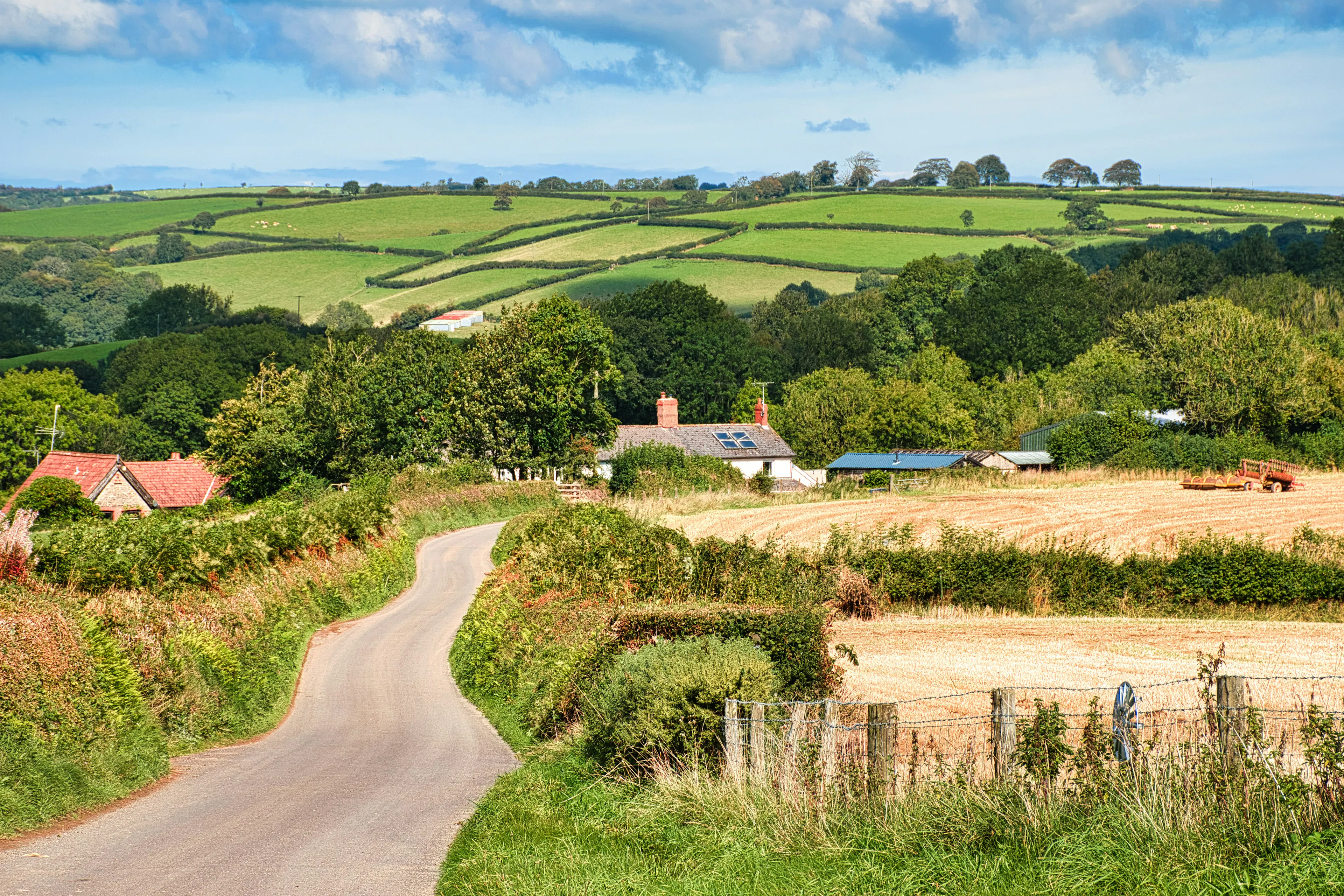
Natural England monitor and classify habitats, for instance as ‘Coniferous Woodland’, ‘Heathland’ or ‘Lowland Meadow’, as part of their national scale LivingEngland habitat map.
Scientists at the Centre for Environmental Intelligence are working with them to develop an application that will use site photos, from field ecologists and potentially citizen scientists, and a checklist to automatically identify and record these, increasing the range of observations and data that can be utilised for habitat mapping.

Find out more about Habitat ID