Earth observation, remote sensing & geospatial intelligence
Enabling the transformation of EO, remote sensing, and geospatial data into actionable insights
A powerful framework for understanding and managing our planet at scale
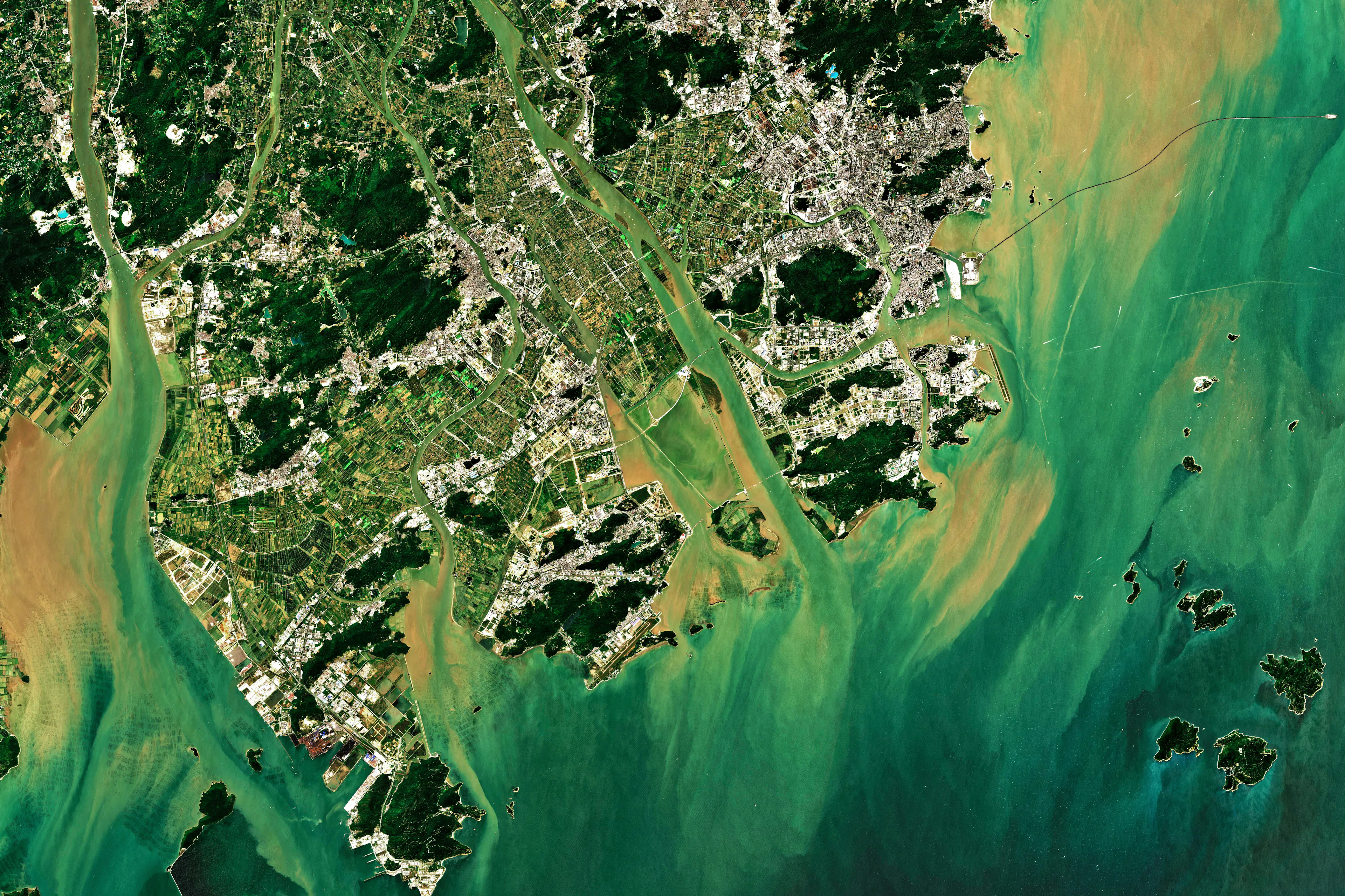
By combining satellite imagery, aerial data, in‑situ measurements, and geospatial analytics, Environmental Intelligence (EI) enables consistent monitoring of the planet and environmental conditions across space and time.
This allows users to detect change, identify patterns and risks, and generate insights at scales that would otherwise be impossible—supporting evidence‑based decisions in areas such as climate adaptation, natural resource management, infrastructure planning, and environmental protection.

Earth observation, remote sensing & geospatial intelligence related EI application areas include:
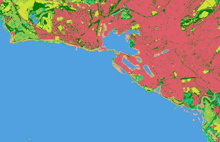
· Monitoring vegetation & land cover, atmospheric conditions, ocean & water systems and the cryosphere
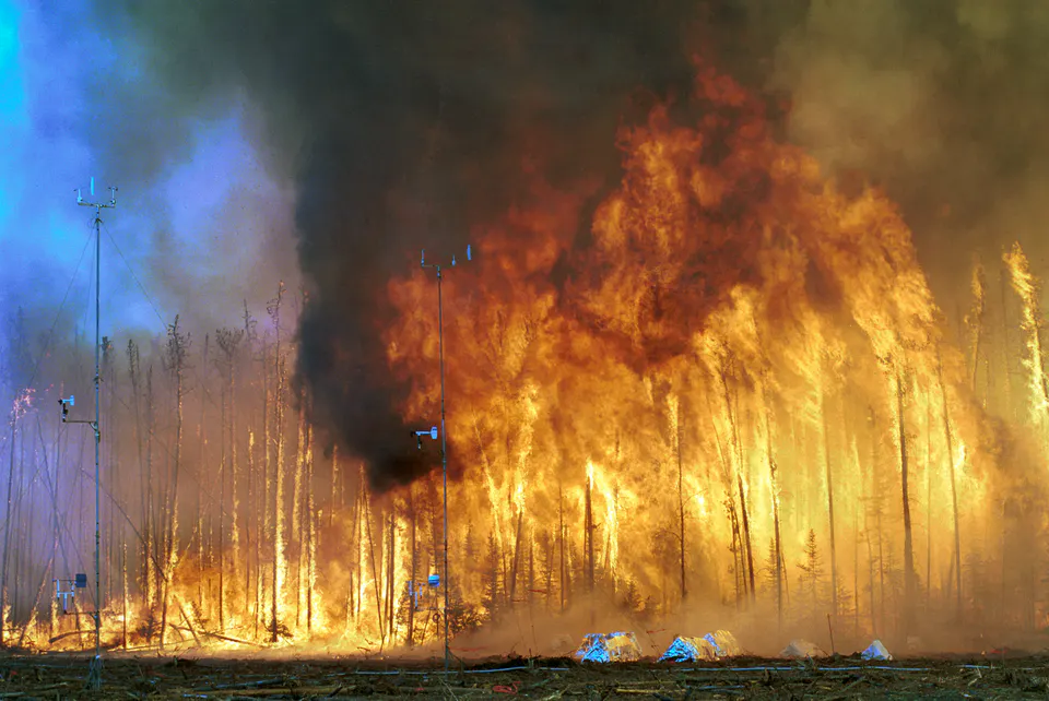
· Change detection and anomaly identification
· Automated identification and extraction of key features from EO and Geospatial data
· Risk and vulnerability mapping
· Supply chain and natural capital intelligence
· Biodiversity / ecosystem monitoring
EI for earth observation, remote sensing & geospatial intelligence activity


Find out more about EI for EO, remote sensing and geospatial intelligence