Agriculture & food systems
Transforming how farming and food production is monitored, managed, and optimised
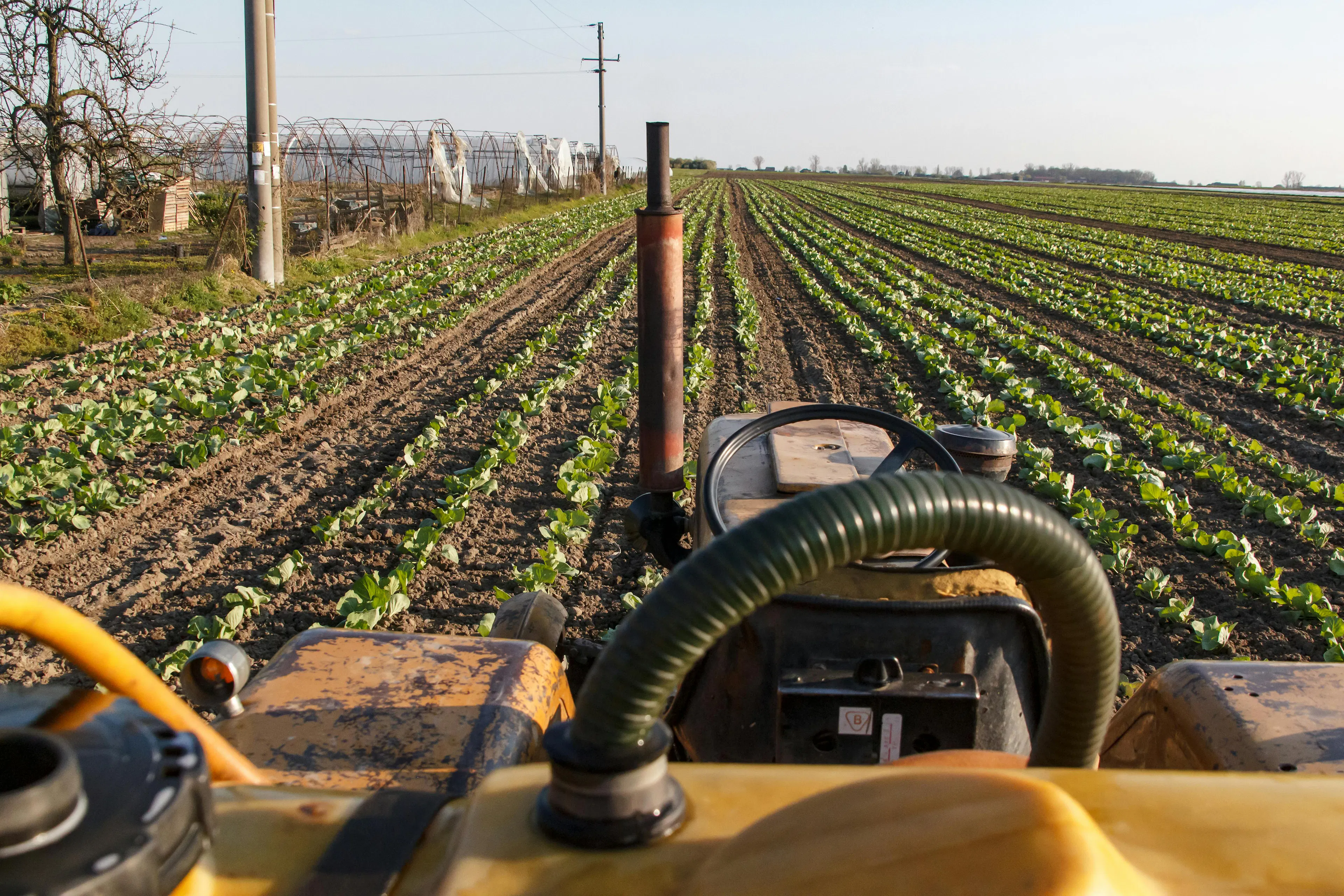
By integrating data from multiple sources including multispectral and hyperspectral satellite imagery, in-field soil and weather sensors, UAV-based imaging and land-use models, Environmental Intelligence (EI) can enable precise, evidence-based decision-making across the entire food value chain.
At the farm level, this can translate into earlier detection of crop stress, smarter use of water and inputs, and more accurate yield forecasting — reducing waste, cutting costs, and improving resilience to climate shocks and natural hazards. At a systems level, EI can support supply chain transparency, carbon and emissions monitoring, regulatory compliance, land-use decision making and national food security planning.
The result is a more productive, sustainable, climate-adaptive and nature-supporting food system — one where decisions are guided by real-time environmental insight.
Agriculture & food systems related EI application areas include:
· Soil health analysis / mapping
· Precision agriculture to optimise planting, soil inputs, and irrigation
· Agricultural yield forecasting
· Biodiversity and environmental impact monitoring
EI for agriculture & food systems activity


Find out more about EI for agriculture & food systems