GreenSight
Using AI to monitor carbon dynamics and wildfires in UK green belts
People:
Professor Hywel Williams, Dr Milto Miltiadou, Dr Remy Vandaele
Partner:
Met Office
Technical approaches:
Digital Twins
Challenge areas:
Natural hazards, Earth observation, remote sensing & geospatial intelligence
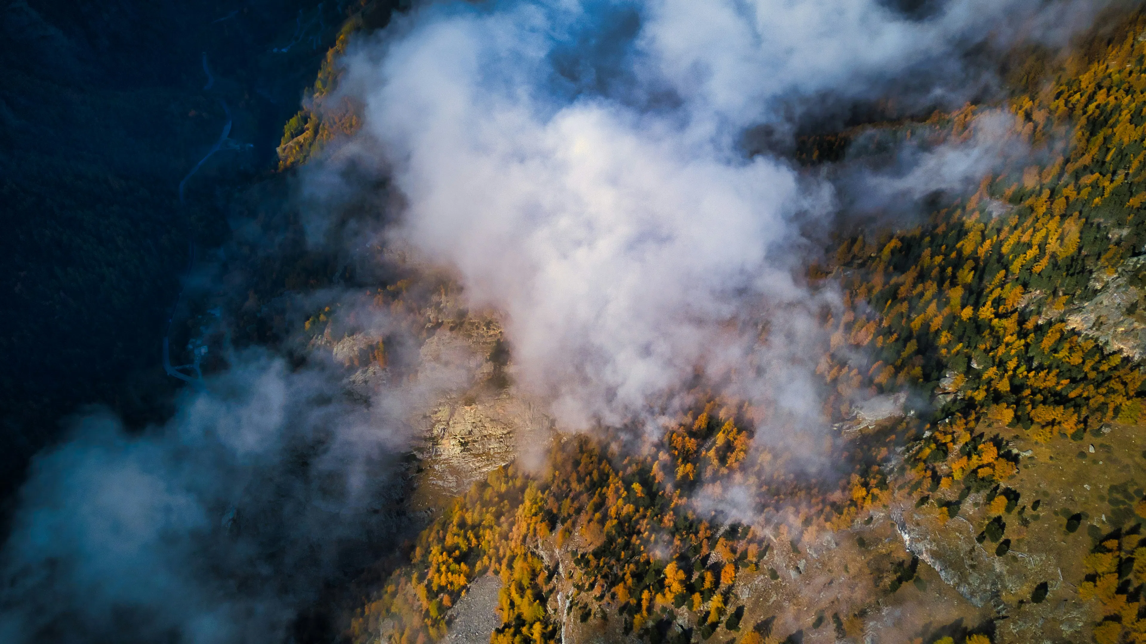
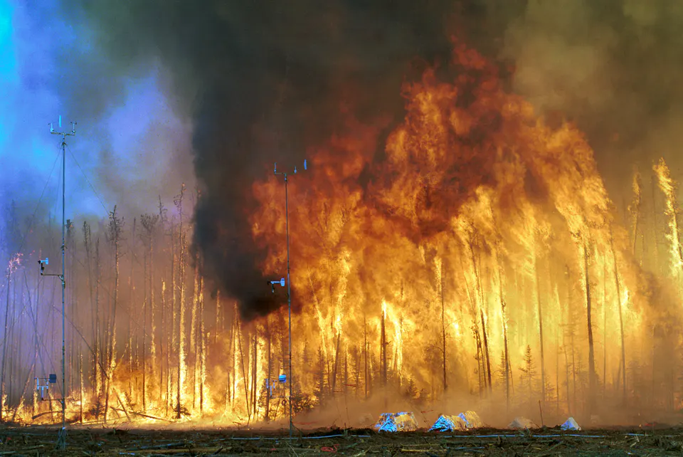
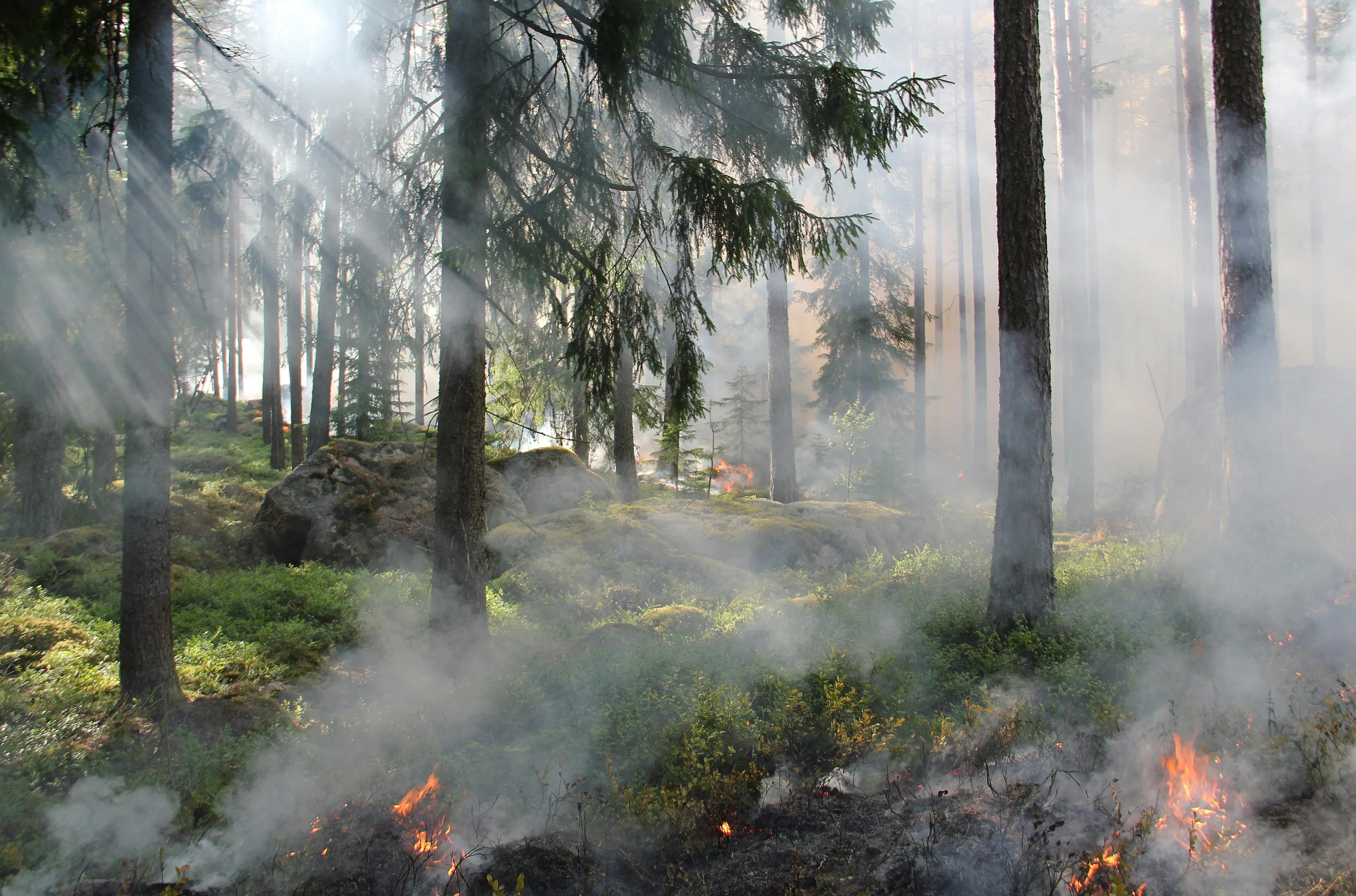
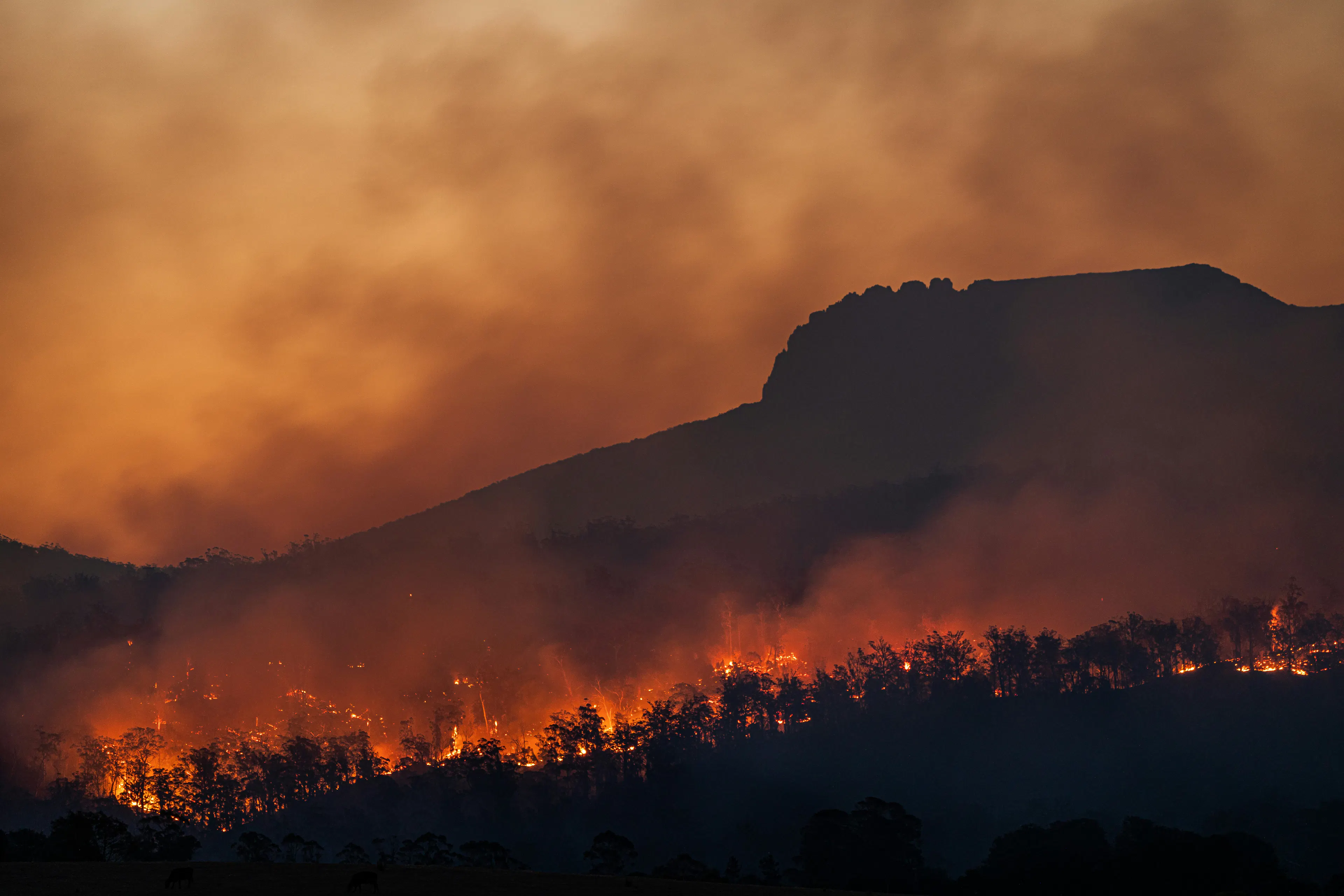
Working in partnership with the Met Office this NERC funded project uses AI to twin satellite imagery of Green Belt land in the UK with climate models better predict the instance and spread of wildfires.
It supports the development of the Met Office's digital twin demonstrator, QUEST (Quantifying near-urban Exposure to climate hazards under socioeconomic pathways), by focusing on carbon dynamics and wildfire events, two key areas for informing multi-objective land-use decisions.
Find out more about GreenSight
Related activity